Where water wants to go on a Mills River lot
Two lot types dominate excavation calls in Mills River, and they fail in opposite directions. Down in the bottomland along the French Broad and its feeder creeks, the water table sits close to grade for much of the wet season, and a footing trench dug in March can be standing in its own groundwater by afternoon. Cane Creek, Big Willow Creek, and the smaller runs that braid through the bottom fields all push water into that same table, so a footer dug a few hundred feet from any of them is still digging into their influence. Up on the benches and ridge shoulders toward Hooper's Creek and the Pisgah edge of the county, the soil is thin over saprolite and rock, the grade falls fast, and the problem inverts: water arrives from above, off the driveway, the cut bank, and the uphill neighbor's yard, and it has to be sent somewhere before a footing ever gets poured.
That single question — which way does this lot shed, and where does the water go when it gets there — decides whether a foundation excavation scope is a one-week dig or a month of bench cutting, underdrain, and a swale that keeps working after the crew leaves. Henderson County sits in a basin that collects weather rolling off the Blue Ridge; the National Weather Service's hydrologic outlooks for the French Broad basin have warned, repeatedly, about how fast these feeder watersheds rise. Federal disaster declarations touching this county number 16 across 1978-2026, and flooding and slope saturation account for most of them. Excavation scopes written here without a drainage answer tend to come back as change orders.
A lot on the valley floor off Banner Farm Road or the lower end of North Mills River Road reads almost flat, which is exactly why it's deceptive. The fall line there might be under a foot across the entire pad, and a machine that cuts a level bench is really digging a shallow bowl. On the slope side, a pad cut into the shoulder above Highway 191 looks dramatic and drains itself, but the uphill cut bank bleeds groundwater for weeks after a rain and pushes it straight at the new wall. Local excavators learn to walk these lots after a hard rain, not on a dry Tuesday, because that's when the truth shows up.
What actually gets dug, and what it costs
Ranges below are ordinary Mills River conditions: access for a full-size machine, sensible rock, and a pump running during the dig. Steep driveways, near-bank access on the river side, or cobble-heavy ground move a job toward the top of its line, not past it.
| Scope | Typical range | What moves the number |
|---|---|---|
| Strip and excavate a crawl-space or slab pad | $3,500 – $7,000 | Topsoil depth, fill volume, haul-off distance |
| Basement or deep-footing dig | $7,500 – $18,000 | Depth, shoring, dewatering, rock |
| Footing trenches only (engineered plan provided) | $1,200 – $4,500 | Linear feet, plan width, ground water |
| Underdrain, footing drain, swale or downspout routing | Quoted as a line item | Grade fall available, outlet location |
The pattern to watch: pads in the bottomland price on water handling, pads on the slopes price on dirt movement and haul, and both price on whether the excavation plan and the drainage plan were drawn at the same time. They should be. The full foundation excavation guide walks through what a complete scope includes before anyone quotes.
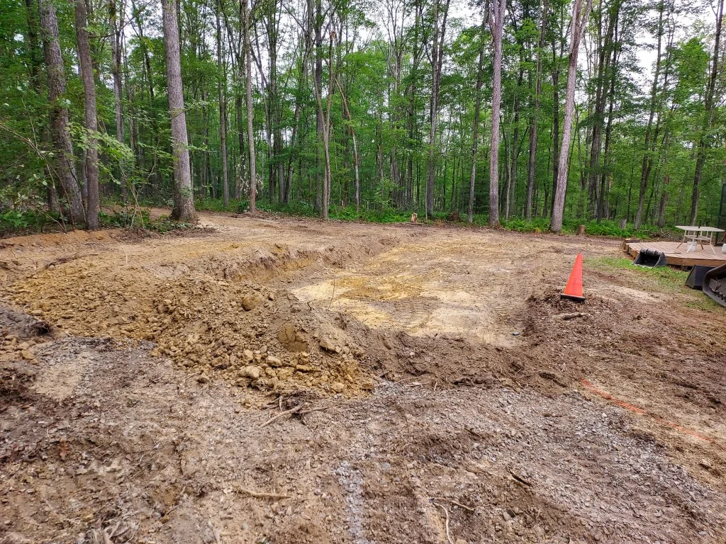
A crawl-space dig on a bench above the valley floor is usually a two- or three-day job with one machine and a truck, and the small mountain of spoil that comes out of it either stays on site to backfill around the foundation or leaves on the same truck that brought the gravel in. A basement dig is a different animal. On a sloped lot near Etowah or the Mills River community itself, a walk-out basement means cutting a vertical wall twenty or thirty feet back into the hill, which needs shoring and a place for the spoils to go without closing the driveway. That's where jobs drift from the low end of the basement line toward the top, and it's rarely about the dirt itself — it's about the room to work and the material to move.
Reading the ground before a machine shows up
Mills River is not uniform dirt. Bench lots carry clay that holds a wall beautifully and holds water even better; the higher shoulders are often shallow topsoil over weathered rock, which excavates clean but drains nowhere unless it is directed. A bottomland pad can look perfect at 8 a.m. and be soup by 2 p.m. after a single rain band. That is why the first useful step is not a quote, it is a walk of the lot with the proposed pad staked, watching where the water already wants to go.
Practical marks of a scope written for this county: a plan for the spoil (stockpile versus haul-off, and where), a stated dewatering method, an erosion-control plan that stays in place until grading is finished, and footing drains specified with an outlet, not just a length of pipe. Anything involving sediment leaving the site touches federal clean-water rules — the EPA's stormwater and construction guidance is the reference point crews here work against. A bid that skips all four items is incomplete, not lean.
It also helps to know what's under the lot before the machine is on it. A soil test or a perc test done early tells you whether the pad sits on clean fill-worthy material or on muck that has to come out. Cut banks on the slope lots often expose the saprolite and rock layers in a cross-section, which is a gift: you can read the whole site from the driveway before anyone spends a dollar. Where the exposed bank shows water seeping out a foot or two above the toe, plan on footing drains sized for a steady trickle, not a one-time rain event, because that seep doesn't dry out in the wet season.
Sequencing the dig with the house and the yard
Excavation is almost never the whole job, and it goes badly when it is treated as one. On a new foundation, the dig has to be cut to the grade in the engineered plan, backfilled against a footing drain, and then finished with final grading that ties the whole house to the lot's fall line. Do it in that order and the grading work in Henderson County that follows is short and cheap. Do it out of order, and a reseeded yard gets torn open twice.
The crews who handle this well are usually the ones already working in the area — a local outfit that knows which driveways a tracked machine can climb in February and which ones it cannot. If you're sorting bids, start with the grading contractors serving Mills River and ask them how they'd sequence the dig, the footings, and the final grade. The answer tells you as much as the price.
On a sloped Mills River lot there is one more step nobody relishes: the driveway cut. Grading the house pad and the driveway at the same time is normal, because the driveway conveys the surface water from the upper lot past the house, and its fall line has to be reasoned out with the pad fall line or the yard floods from its own entry. That's also why tear-out repair work — reopening a finished slope because the driveway was pitched the wrong way — is a real line item in this county. Getting the driveway and pad on the same grade plan is the difference between a yard that drains and a yard that has to be redone.