Why Mills River pads don't price like Asheville pads
Mills River is a different kind of ground than most of Asheville. A lot here is as likely to be a sliced-off corner of a former burley tobacco or cattle tract off a two-lane like Banner Farm Road or North Mills River Road as it is a surveyed cul-de-sac lot in one of the newer subdivisions on the Henderson County side. Those farm remnants come with their own habits: old fence lines, a spring that shows up in February, a barn slab that was never meant to be a foundation, and topsoil depth that changes every thirty feet.
Road frontage shapes the job too. Where the road runs along the river bottom, the pad has to sit above a floodplain line and drainage has to be pushed somewhere it won't come back. Where the road climbs a ridge, the pad is a cut on one side and fill on the other, and the retaining and compaction tell the whole cost story. Add the county's own rules on the grading contractor side and the work is specific to this town in ways a flatland quote misses.
Asheville proper tends toward tighter city lots and older street grids where the challenge is access and tight quarters. Mills River jobs are more often shaped by acreage and terrain: a long gravel drive off a state road, a homesite pushed to the back of a pasture, or a lot where the buildable envelope is a fraction of the legal parcel. That difference alone changes how you bid the job. On an Asheville infill lot, the machine might be small and the haul-off constant; in Mills River, you might move hundreds of yards of dirt on-site and never leave the property, which changes the cost profile in the other direction.
There is also the septic question. Much of Mills River sits on ground where the county health department wants to see a soil evaluation before a homesite is pinned down. On a farm remnant, that evaluation often pushes the house pad to a specific bench of ground, which then dictates where the driveway and drainage have to go. In a subdivision, the septic area may already be identified on the recorded plat. Either way, the pad and the drainfield are negotiating for the same flat ground, and how that negotiation resolves is a local skill, not a generic one.
Finally, there is the matter of what's underneath. Mills River sits in the French Broad watershed, and the ground ranges from deep river-bottom alluvium to clay-heavy upland cuts to rock that shows up in the first few feet. A bidder who has never dug here might assume a clean cut. A local operator plans for the possibility that the cut turns into a rock hammer and a longer day, and prices the job with that risk in mind rather than discovering it mid-grading.
What a Mills River site prep scope actually includes
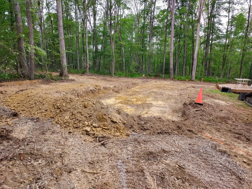
Site prep is not one task, it's a stack. Strip and stockpile topsoil. Cut and fill to grade. Compact in lifts. Handle water. Build the driveway and its culvert. Rough in the house pad, the septic field, and any outbuilding pads. Set the erosion control and silt fence before a drop of rain falls. On a wooded parcel, add clearing, stump removal, and haul-off, and that line item alone can move a job thousands.
Mills River jobs also force a drainage decision early, because this corner of Henderson County drains toward the French Broad and its tributaries fast. Silt fence, a stabilized construction entrance, and a sediment trap aren't paperwork — they're what keeps a grading inspection passing and keeps you on the right side of state and local erosion rules. The NC Licensing Board for General Contractors is the place to check whether a bidder is properly licensed for the size and type of job you're hiring.
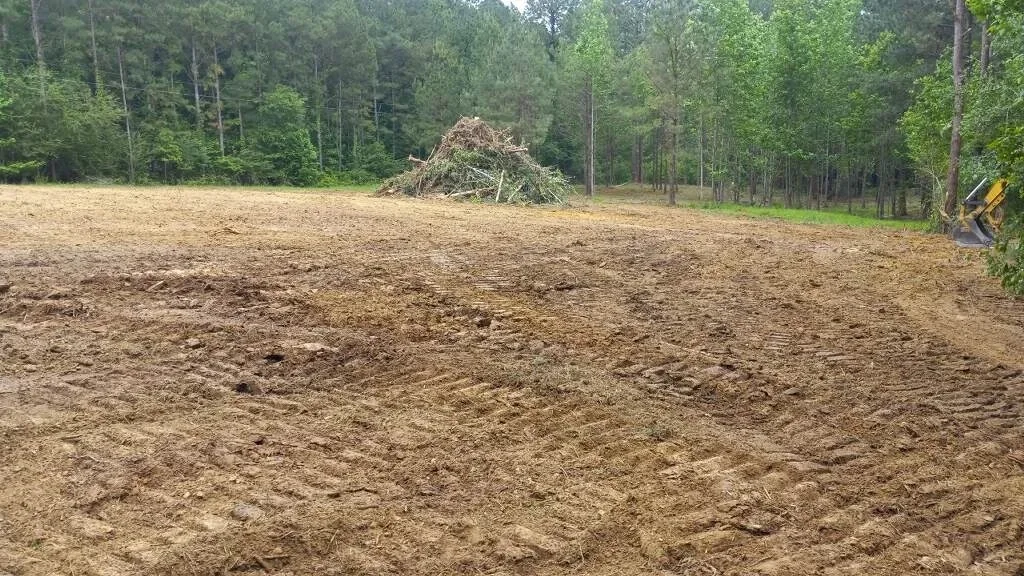
On a wooded Mills River parcel, the clearing line is a real design decision. Clear too little and the house, driveway, and septic won't fit with the required setbacks. Clear too much and you've exposed a slope that now wants to erode, and you've removed the shade that was holding moisture in the ground. A good operator walks the lot and marks the clearing limits before a saw starts, saving the trees that will stabilize the ground and take the ones that genuinely block the buildable area.
Topsoil handling is the other quiet cost. In the river bottoms, topsoil can run deep and is worth stockpiling for the final grade around the house. On a ridge cut, there may be almost no topsoil to strip, and what's there has to be imported or reclaimed from the cut. Knowing which situation you're in before the quote is the difference between a number that holds and a change order later.
Compaction is where a cheap quote and a correct quote part ways. Fill placed in thick lifts without proper moisture conditioning will settle, and the foundation built on it will show the settlement as cracks. On a Mills River pad, lifts, moisture, and compaction testing should be spelled out in the scope, not assumed. For a broader view of how these scopes are assembled, the overview on site prep and building pads is a useful starting point before you compare numbers.
Pad and prep pricing, broken out
Treat any single number with suspicion. A residential building pad in this county typically lands $3,500 to $15,000; steep, wooded, or rocky lots can reach $30,000. The table below is the working shape of the quote — your lot fills in the blanks.
| Scope item | Typical range | What moves it |
|---|---|---|
| Clearing and grubbing, light | $1,500–$5,000 | Tree count, stump size, haul-off distance |
| Cut and fill to pad grade | $3,500–$15,000 | Slope, how far dirt must move, compaction lifts |
| Driveway, gravel and culvert | $2,500–$9,000 | Length, grade, stream or ditch crossing |
| Retaining or slope stabilization | $2,000–$10,000 | Wall height, engineered design, drainage behind wall |
| Erosion control and drainage | $800–$4,000 | Silt fence, sediment trap, swale, county plan review |
For the county-level picture next door, the Henderson County grading cost breakdown shows how the same work prices across the county. And when you're comparing site packages, start with the overview on site prep and building pads so you're comparing the same scope.
The driveway line deserves a second look on Mills River lots, because it's the item most likely to surprise a homeowner. A short, gentle gravel drive is a few thousand dollars. A long drive down a lane that crosses a wet-weather drainage, or climbs a grade steep enough to need serious gravel depth and a culvert sized for the flow, can cost more than the pad itself. If the lot has a shared lane, that's a conversation with neighbors before any work starts, because access is not yours alone to change.
Retaining is the other wildcard. On a ridge lot, a cut wall behind the house and a fill wall in front may both be needed, and the fill wall in particular has to be engineered for the load and the water behind it. A retaining wall that ignores drainage fails, and replacing it costs more than building it right the first time. That is why retaining shows up as a range and not a number, and why an on-site look drives the bid.
Storm water is the local wildcard
This county's federal disaster record — 16 declared events spanning 1978-2026 — is dominated by storms and flooding, and Mills River feels it where the bottomland meets the ridge. That history is why foundations here are set on compacted pads with positive drainage away from the house, why retaining walls need to be built for the water behind them, and why the erosion plan is not a formality. The National Weather Service forecast should be part of any pre-grading conversation; you don't want to strip a pad the day before a heavy rain.
It also means the answer to "where does the water go" has to be on the plan before a machine rolls. A spring that surfaces at the cut, an uphill neighbor's runoff, drainage from a new road, and the county ditch all arrive at the same place: your pad. Grading and drainage are the same job here.
In the river bottoms, the floodplain question is concrete and early. Building in the floodplain brings insurance and elevation requirements that change the whole design, and the pad has to be set above the regulatory line with the right documentation. Uphill, the concern is different: concentrated runoff from a cut slope, from a new driveway, or from a neighbor's cleared lot, all of which can arrive faster than the ground can absorb it. A graded swale that carries water around the pad and off the lot is cheap; water that finds its way under a slab is not.
Erosion control has a season here too. The grading that goes smoothly in a dry stretch of late summer can turn into a mud problem after a wet fall front, and the silt fence and sediment trap that looked like overkill in August are what keep the site compliant and the neighbor's creek clear in October. The EPA's stormwater guidance at epa.gov explains why construction-phase sediment control matters beyond the permit, and the county's own erosion rules sit on top of that. Plan for the weather you'll actually get, not the weather on the day you sign the contract.
Roads, access, and the shape of the lot
Access is an underrated cost in Mills River. A lot with a narrow farm-road frontage means small equipment or a longer run of driveway; a parcel down a lane shared with two other owners means you coordinate before you can start. Tight river-bottom lots push the pad and the septic field to compete for the only level ground. Ridge lots mean the driveway climbs, which drives up the culvert, the gravel, and the compaction spec. None of this is guesswork — it's visible in the first site walk, and it's why an on-site look before a number is the right order of operations.
The lane situation is worth spelling out. On many Mills River farm tracts, the original access was a farm lane that now serves two or three parcels, and that lane was never built for construction traffic. A loaded dump truck on a lane that was designed for a pickup can rut it out in a week, and someone pays to fix it. Before mobilizing, it's worth knowing who owns the lane, what condition it's in, and whether the construction traffic will damage it and how that will be repaired.
Ridge lots bring their own arithmetic. The longer the driveway and the steeper the grade, the more gravel, the bigger the culvert, and the more careful the drainage has to be to keep water from cutting a channel down the drive. A ridge driveway that isn't crowned and ditched correctly becomes a gully after the first big storm, and re-grading it a year later is money that could have been spent once, correctly.
Lot shape matters beyond the driveway. A long, narrow parcel along a creek may have only one practical homesite, and that site may be constrained by the floodplain, the setback, and the septic area all at once. A wide, open pasture lot may have several possible sites, and the cheapest one is often not the one the buyer first pictured. This is the kind of judgment that comes from walking the ground and reading the survey together, and it's why the site walk precedes the price.
When you are ready to compare bids, look for scopes that spell out clearing limits, cut and fill volumes, compaction, driveway length and culvert size, erosion control, and the plan for water. A bid that lists those items is comparable; a bid that says "site prep" and a number is not. The grading contractor side covers how to evaluate those scopes, and the county cost breakdown gives you the line-item context to hold bids against.